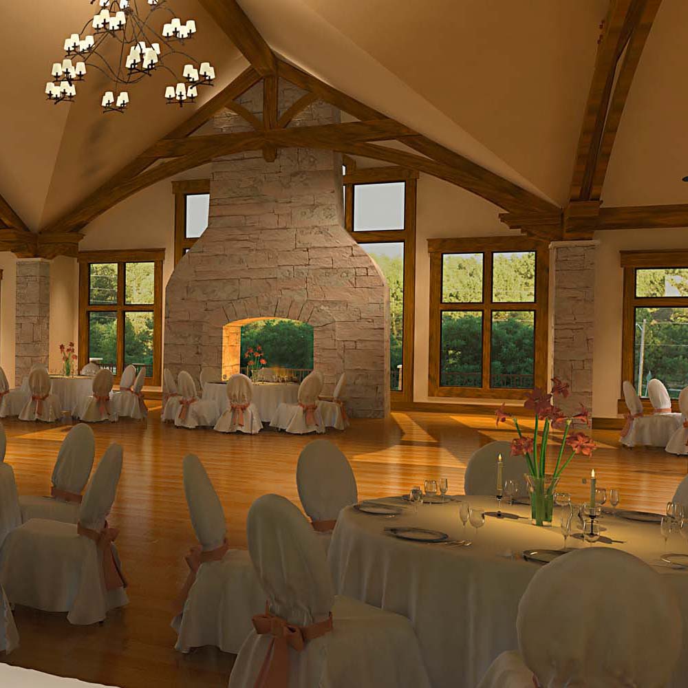
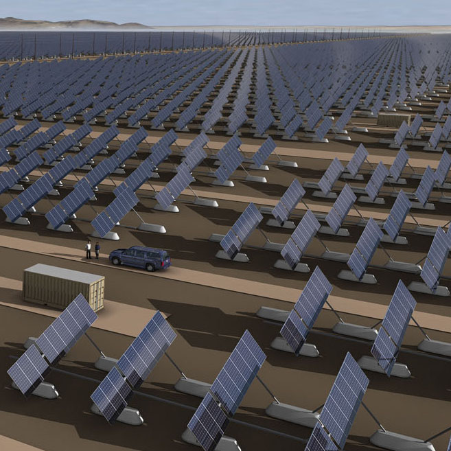
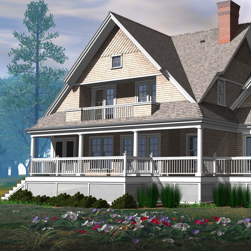
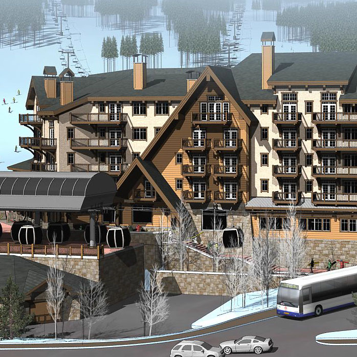
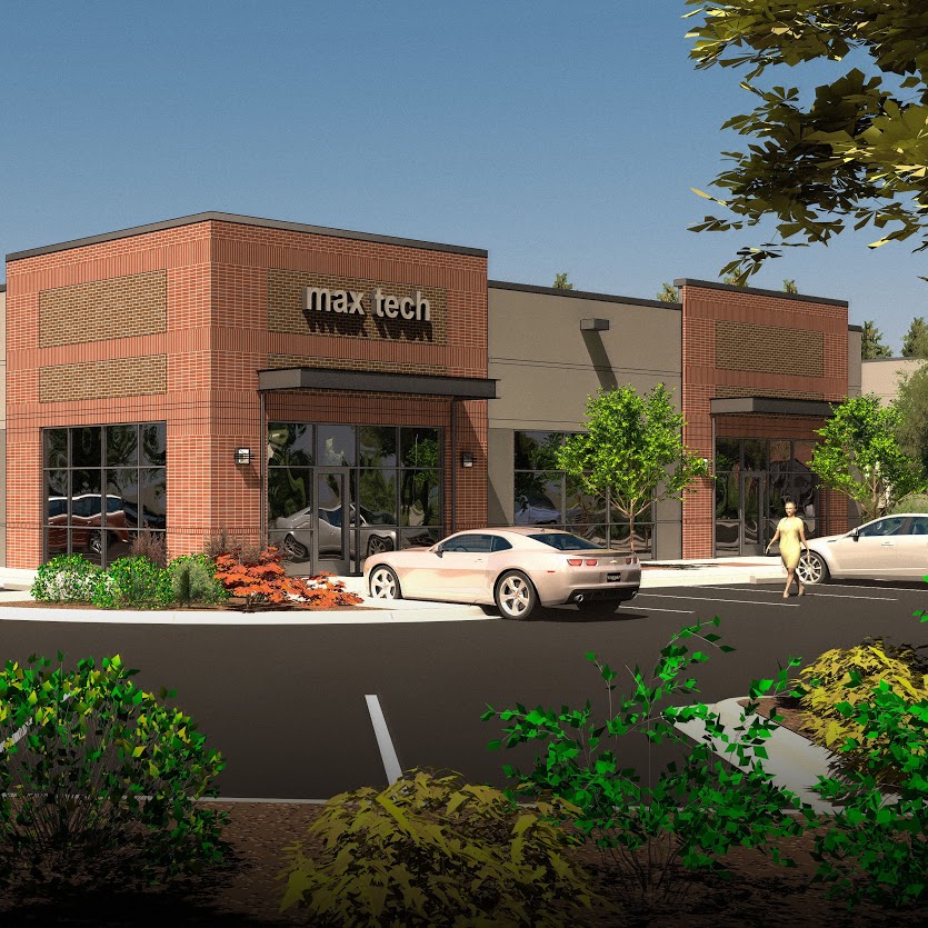
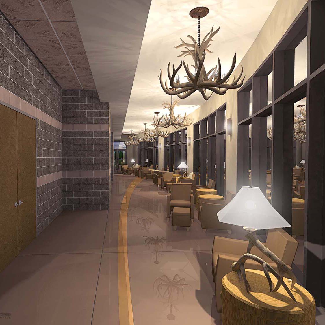
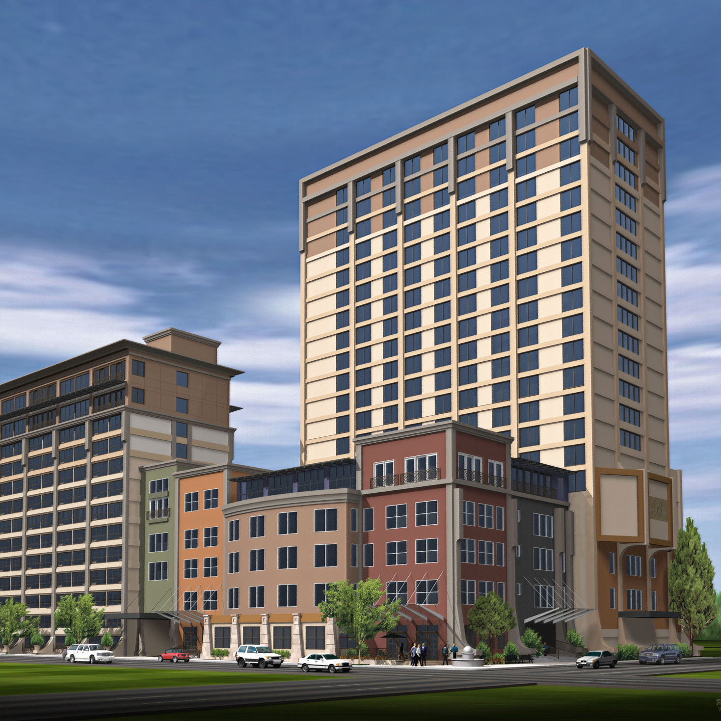
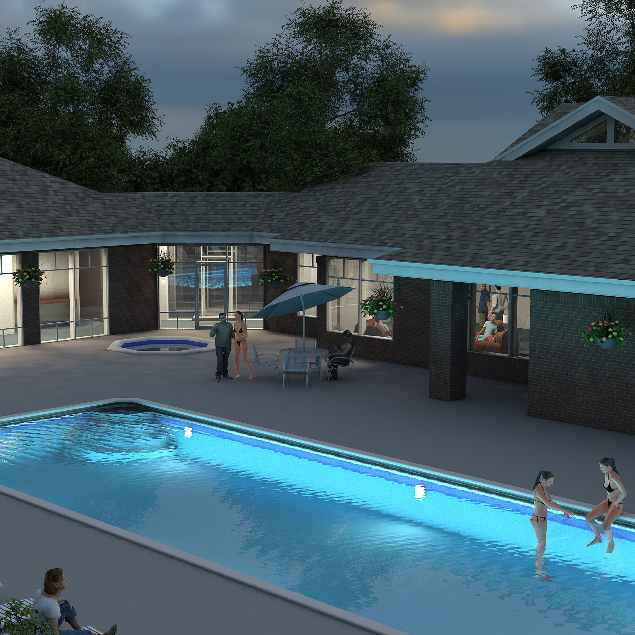
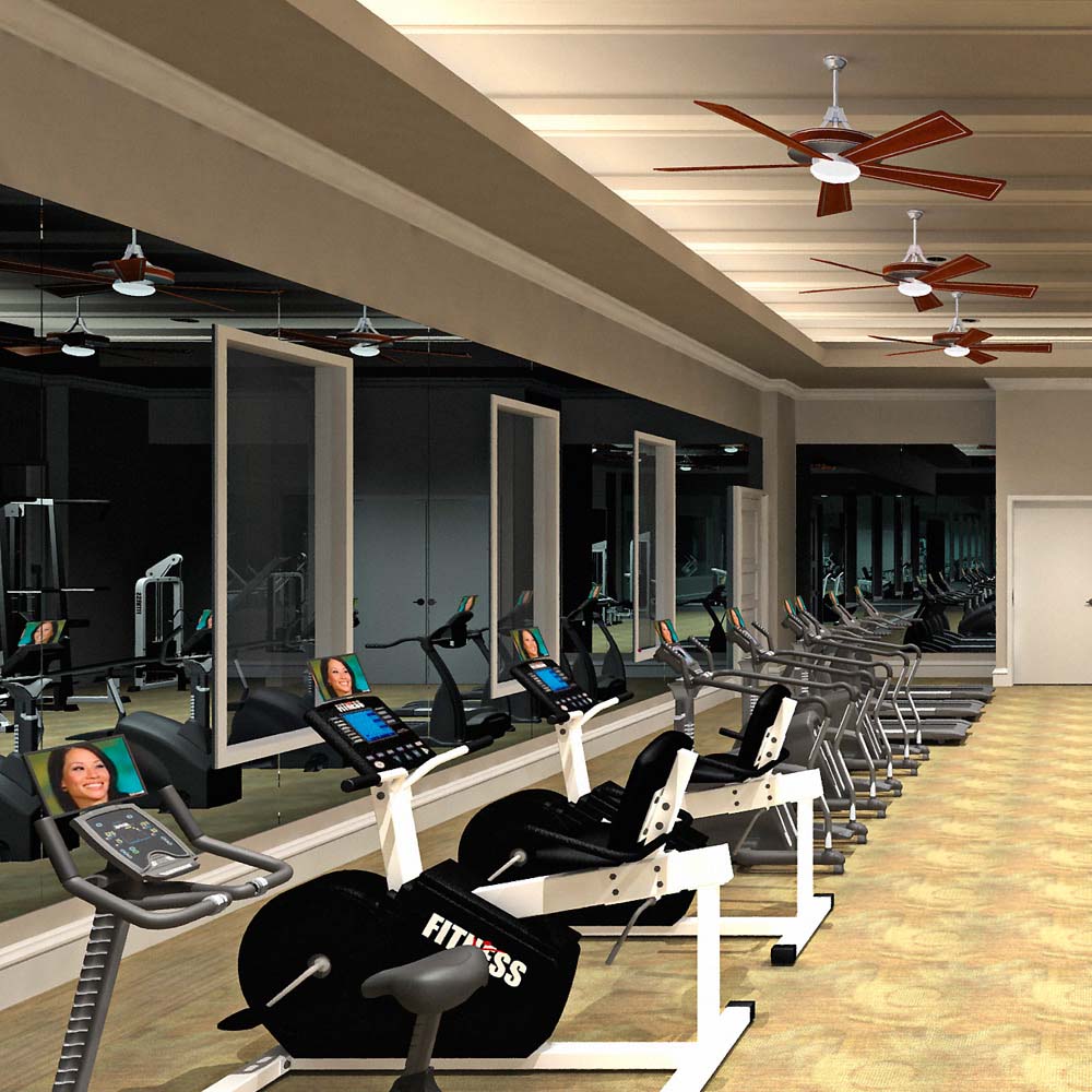
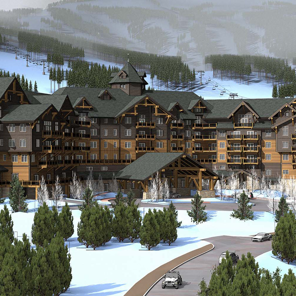
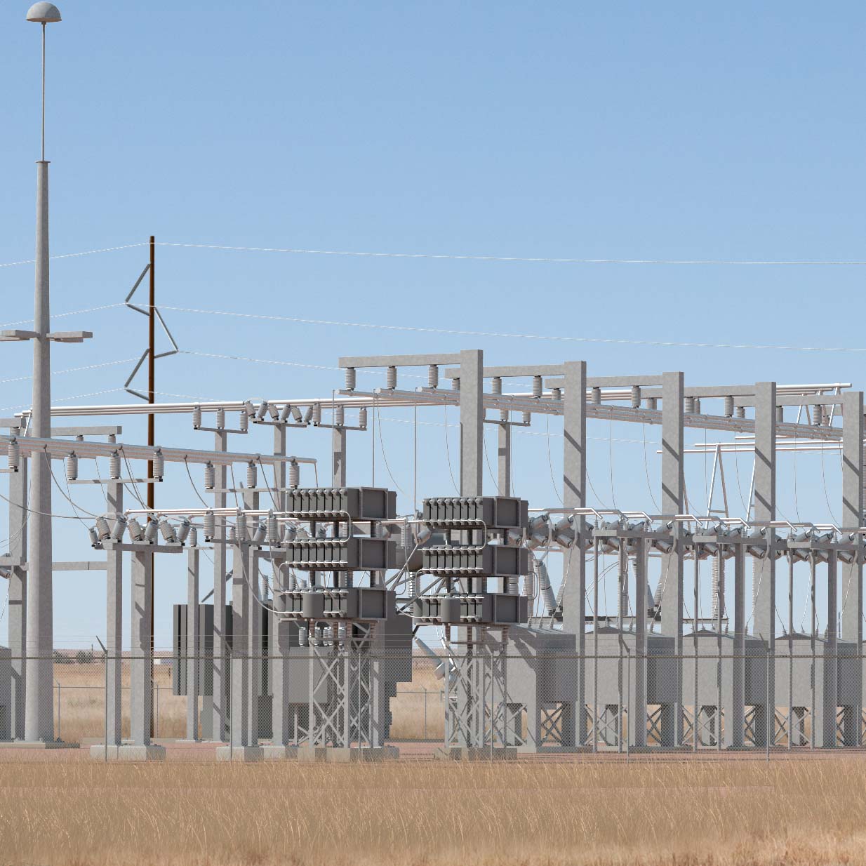
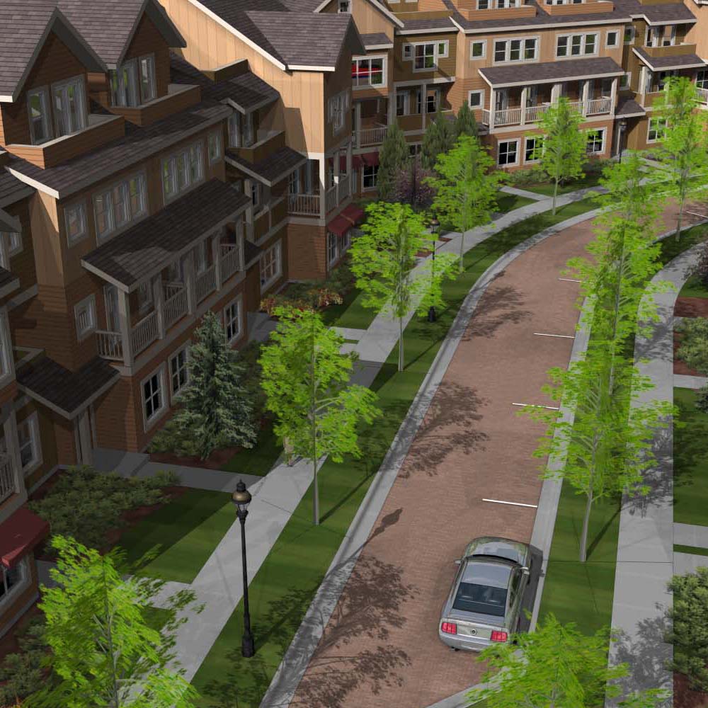
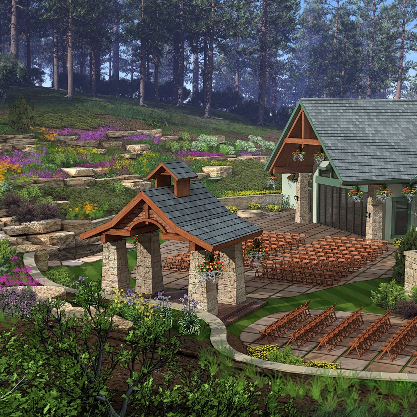
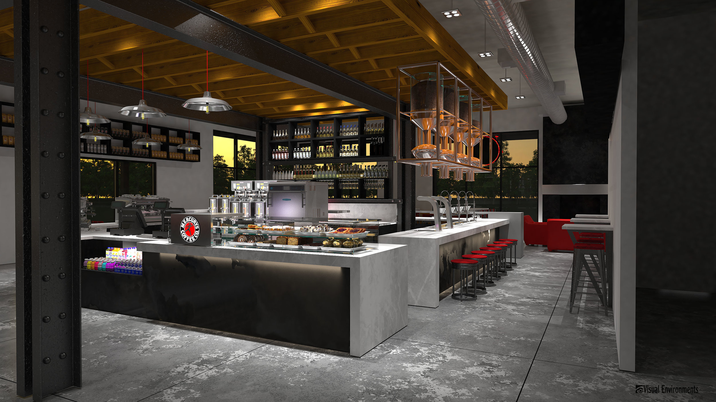
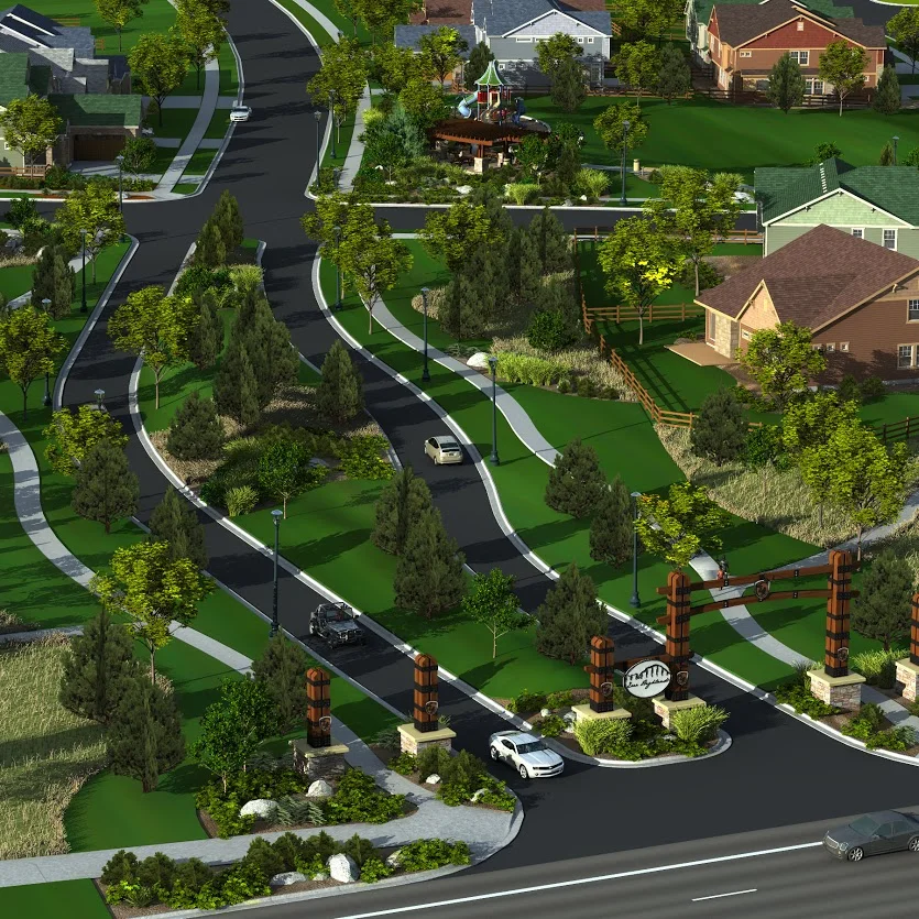
Visual Environments is a Landscape Architecture firm that specializes in 3d Visualization & ArcGIS Mapping.
A development idea can be traditional & simple or revolutionary and complex - but sometimes it's hard for others to visualize. That's where Visual Environments comes in.
We enjoy working with developers, designers and property managers designing landscapes, illustrating projects and mapping infrastructure.